About Me
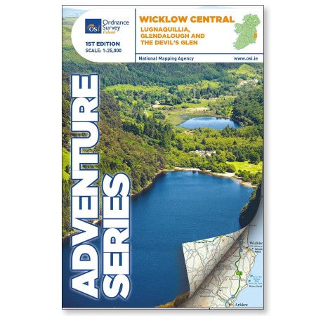
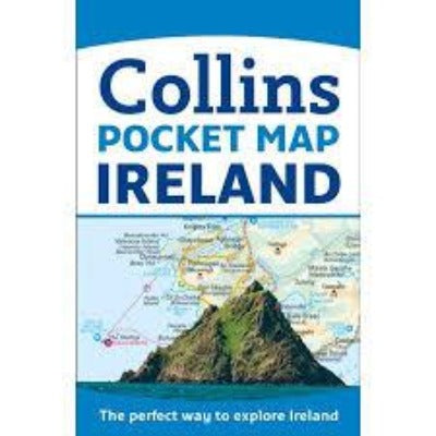
This 1:25 000 scale Adventurer map by Ordnance Survey Ireland shows the towns and villages of Roundwood, Laragh, the Vale of Glendalough, Glenealy, Rathdrum, Ballyknockan and Hollywood. Lugnaquillia, the highest mountain in Wicklow, features on this map. Mullaghcleevaun is the second highest mountain in Wicklow and on a clear day the hills of Wales can be seen from the summit trig point. Among the numerous mountains shown on this map are Luggala or Fancy mountain, Tonelagee, Scarr, Camaderry, Silsean, Mullaghcleevaun,Table Mountain, Conavalla, Clohernagh, and Slievemaan. The Devil’s Glen also features.
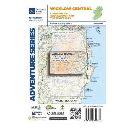
The Adventure Series is an activity oriented map which shows detailed landscape information, like rivers, lakes, contours, bogs, tracks and other physical features. It provides detailed mapping in specific locations for the outdoor enthusiast such as mountaineers, hill walkers, cyclists and other users of the Irish countryside. The Adventure Series is printed on Water Resistant Paper.
Product Details
- published by Ordnance Survey Ireland
- scale of 1:25 000
