About Me
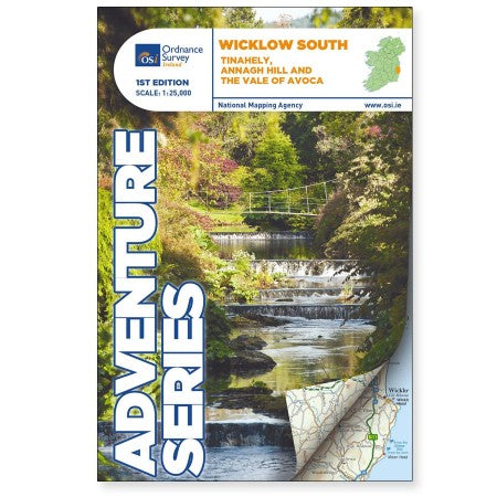
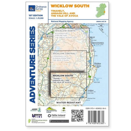
This 1:25 000 scale Adventurer map by Ordnance Survey Ireland shows County Wicklow, County Carlow and County Wexford. Roads shown on this map include R752, R753, R747 and R748. short portion of the M11 at Arklow is shown. The railway which runs through the Vale of Avoca to Arklow town is shown. Among the towns and villages shown on this map are Avoca, Aughrim, Arklow western section of the town, Hacketstown, Knockananna, Tinahely and Shillelagh. Mountains and hills that feature are the western part of Croaghanmoira, Cushbawn, Croghan, the southern section of Slieve Maan, Carrickashane, Ballyteige and Stookeen.
The Adventure Series is an activity oriented map which shows detailed landscape information in 1:25 000 scale, similar to the OS Explorer maps. It provides detailed mapping in specific locations around Ireland that are popular for outdoor activities. Some of the features included are National Roads, National Secondary Roads, Regional Roads, Waymarked walks, Tracks and Trails, Cycle Routes, Forestry, Land Terrain, Spot Heights, Contours, Named antiquities, Local amenities, National Parks, Lakes, Rivers and Streams.
Printed on water resistant paper for greater durability.
Product Details
- published by Ordnance Survey Ireland
- scale of 1:25 000
